

A portable data logger that is used for heat maps.
Sponsor: Ingram School of Engineering
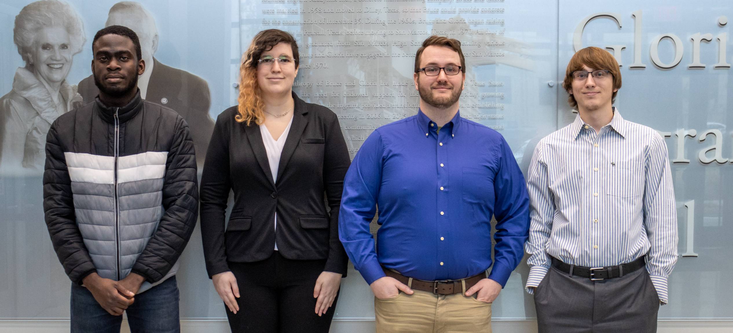
Student Team: Jeremy Hester, Leigh Cross, Jack Hotchkiss, Samuel Osagie-Aruya
Faculty Advisor: Mr. Lee Hinkle
Our project is a portable data logger that measures temperature, humidity, location, and time. Using our device, city planners can identify hot spots and implement solutions to address them, as well as measure the effectiveness of heat-conscious city designs. This is important because according to the EPA, excessive heat within a city is responsible for health issues and increased power consumption.
E2.09 Presentation
Video not playing? You can also view our presentation by clicking the link below!
E2.09 Poster Pitch
To view a PDF file of our poster, click the link below!
Team Contact Information
Team Project Manager: Jeremy Hester, jmh269@txstate.edu
Faculty Advisor: Mr. Lee Hinkle, lbh31@txstate.edu
Let us know what you think! You can evaluate our project here: E2.09 Evaluation Form